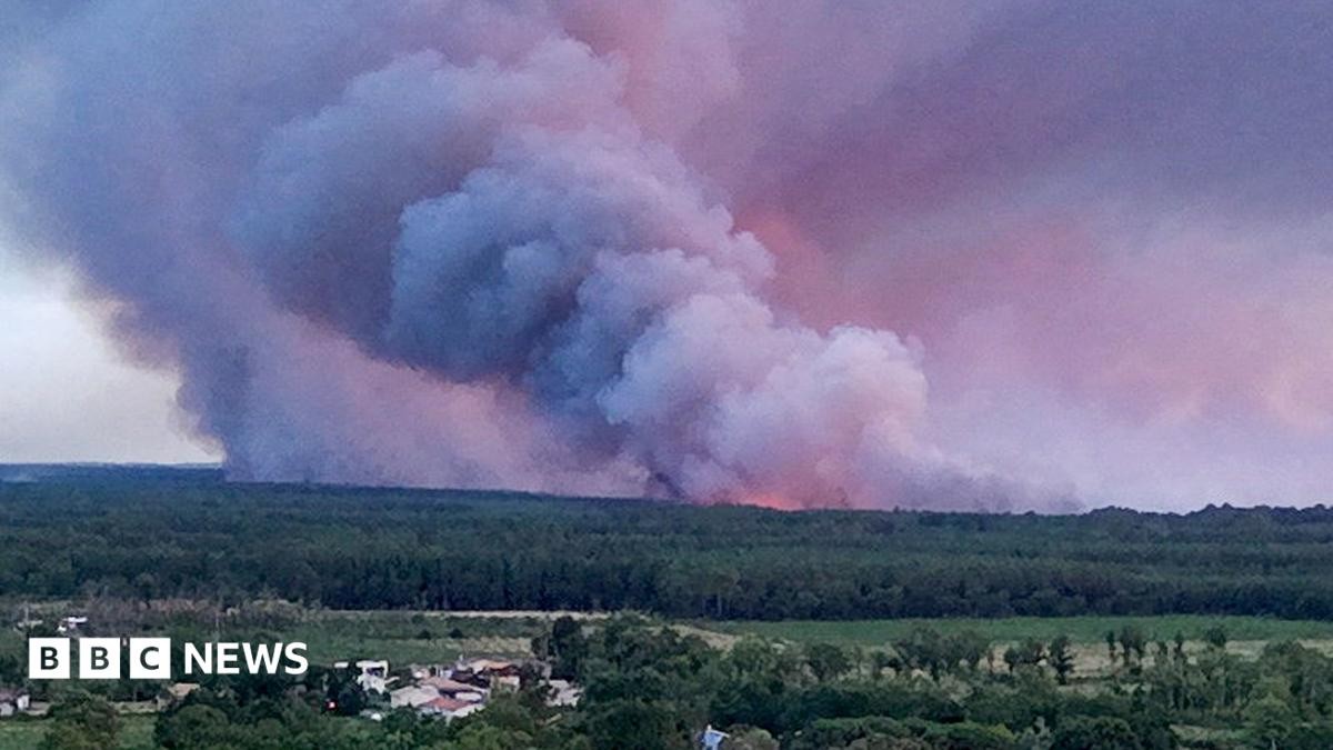
The scene near Bordeaux is chaotic. Tens of thousands of people in Gironde have been evacuated. France is battling wildfires that are being stoked by something scientists rarely see this far north.
It is a pyrocumulonimbus cloud.
You can think of it as a fire-generated thunderstorm. The heat from the flames provides the energy. It lifts smoke, ash, and water vapor high into the atmosphere. As that air rises, it cools. The vapor condenses. If the fire is hot enough and the sky unstable, you get a towering cumulonimbus cloud.
These clouds don’t just float. They churn.
They create turbulent winds that send embers flying in all directions. This makes blazes unpredictable. Firefighters can’t contain them. Lightning strikes from these clouds can spark new fires. The problem multiplies.
How Pyrocumulonimbus Clouds Form
The process is physical and violent.
Wildfires generate massive amounts of heat. The air above the blaze rises rapidly. It carries moisture with it. High in the atmosphere, that moisture turns to cloud.
If the atmosphere is unstable, the cloud grows. It becomes a thunderhead.
French authorities say this phenomenon caused the recent fires near Bordeaux. They added that they had never seen it in the country before.
This isn’t just a French issue. The conditions exist elsewhere. Europe is sweltering. Record-breaking heatwaves. Minimal rain. Regions are dry. They are susceptible to fire.
France is not alone.
Where Else Have They Occurred?
Look at California.
Summer 2021. Intense fires across the western United States. Pyrocumulonimbus clouds formed there too. Smoky clouds towered a mile high. They rose over the blazes.
California firefighting officials reported over 7,300 wildfires that season. One million hectares burned. Three firefighters died.
The Gironde blaze will likely burn for many weeks. A senior official warned it could take months to fully extinguish.
The situation in Gironde was “broadly stable” overnight. But don’t get comfortable.
Another heatwave is forecast later this week. Highs up to 40°C (104°F) predicted in France.
Heat drives this. Heat fuels it.
The pyrocumulonimbus effect is real. It is deadly. And it is moving into places where people aren’t ready for it.